Camera locations join navigation maps
MapQuest has added a Surveillance Layer to its mobile application, allowing users to display known automatic license-plate readers and other public-facing cameras while viewing a route or area. The company says the feature draws its location data from contributors to OpenStreetMap, the community-built mapping database.
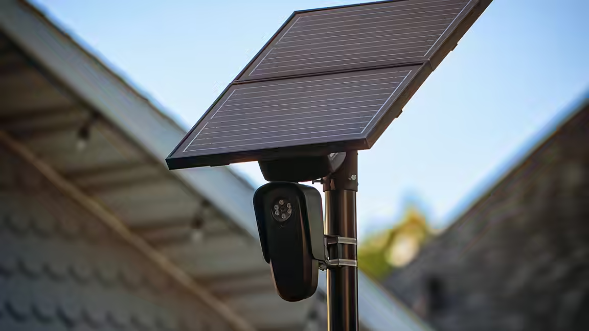
The layer marks equipment associated with Flock Safety and a range of other vendors, including Motorola Solutions' Vigilant system, Genetec, Axis Communications, Axon, Leonardo ELSAG, Neology, Rekor, PlateSmart, Ubicquia and Verkada. Users reach it through the app's map-options interface, where camera locations appear as eye-shaped symbols.
MapQuest's addition packages information that has often lived in specialist or local crowdsourced maps into a general navigation product. It does not mean every camera is catalogued, operating or accurately classified. Open mapping data changes as contributors add and correct records, and physical surveillance networks can change faster than a community database. The layer should therefore be understood as a view of reported locations, not a complete real-time inventory.
License-plate readers face closer scrutiny
The launch comes amid sustained public debate about automatic license-plate recognition systems. Such cameras capture plate information that can be searched or analyzed, and networks are frequently marketed to police departments and local governments as investigative tools. Civil-liberties advocates and community groups have questioned how broadly the data can be shared, how long it is retained and whether access can be misused.
Mashable, which reported the MapQuest release, noted a recent US Senate inquiry involving Flock and allegations that surveillance partners have used camera systems improperly. Flock's chief executive has defended partnerships with law enforcement and municipal customers while saying misuse involves a small number of bad actors. Those competing positions make the accuracy and framing of public camera maps important: the presence of a marker identifies reported equipment, not misconduct at that location.
The new option also signals how MapQuest is trying to distinguish itself in a navigation market dominated by larger platforms. The service dates to 1996 and remains familiar to users who remember early web-based driving directions. A specialized privacy-oriented layer gives it a feature that can appeal to people concerned about the growth of networked street surveillance.
For users, the immediate value is visibility. A person can inspect a route and see where OpenStreetMap contributors have recorded plate readers or outdoor cameras. The feature does not disable collection, verify legal compliance or guarantee a camera-free journey. It instead turns a dispersed public dataset into an accessible map layer, making surveillance infrastructure easier to notice and discuss.