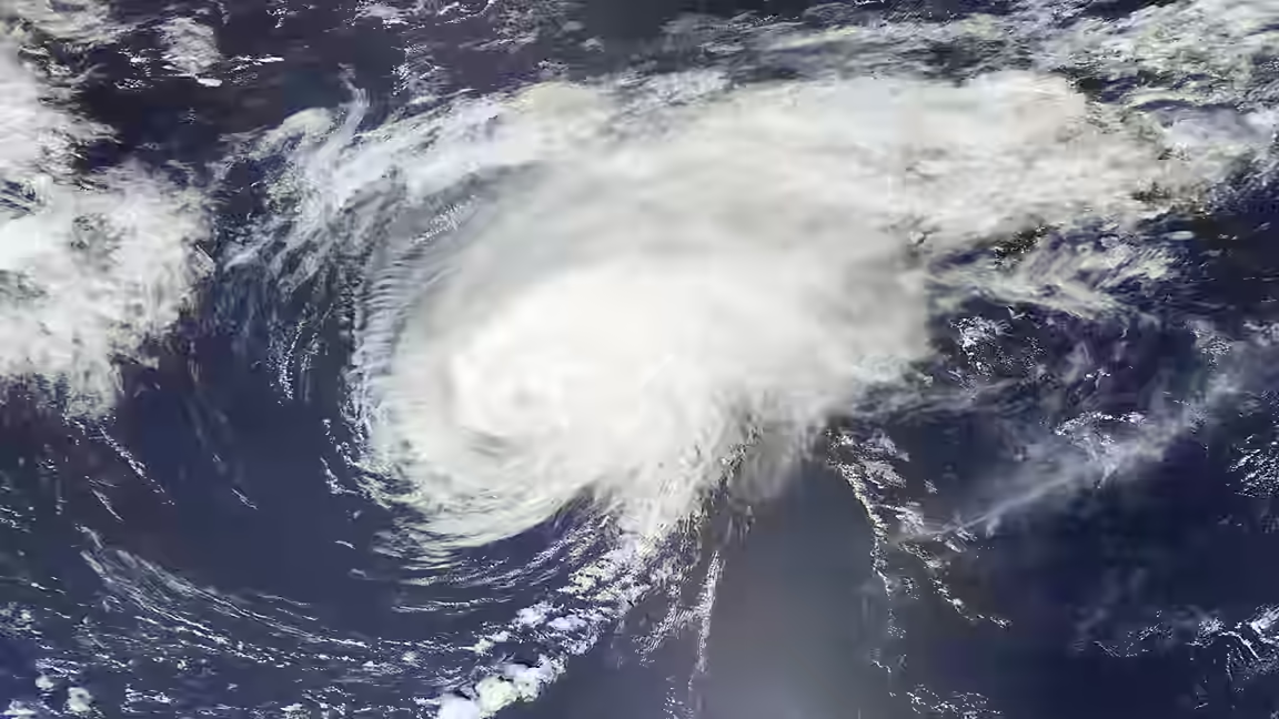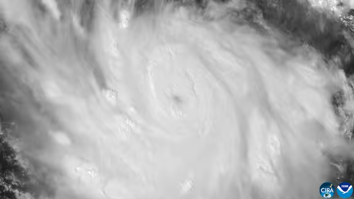
Hurricane Polo intensified into a Category 5 storm off Mexico’s southwestern coast on September 22, with maximum sustained winds of 165 mph, according to a National Hurricane Center advisory reported by The Independent. Category 5 is the highest level on the Saffir-Simpson hurricane wind scale.
The hurricane was positioned about 205 miles south of Zihuatanejo and moving north at roughly 2 mph. Forecasts indicated that its center would remain offshore, but its size and proximity meant communities along the Pacific coast could still experience heavy rain, high waves and tropical-storm-force winds. Forecasters said the storm could strengthen further and planned to send a reconnaissance aircraft into the system to collect additional measurements.
Rainfall was expected to create the most immediate danger on land. Forecast totals of three to six inches were projected for parts of Michoacán and Guerrero, with lower amounts possible along coastal sections of Jalisco, Colima and Oaxaca. Intense downpours can produce flash flooding and mudslides even when a hurricane’s eye does not cross the coast.
Mexican officials suspended school sessions in several Pacific coastal districts as Polo moved parallel to shore. The precautions came amid concern in Guerrero and Oaxaca, where communities are still recovering from damaging storms in recent years. The supplied evidence does not report evacuation orders, deaths or major damage from Polo at the time of the advisory.
A hurricane reaches Category 5 when sustained winds exceed 157 mph. That classification describes wind intensity rather than the full scale of every hazard. Rainfall, storm-driven waves and local terrain can cause severe impacts outside the area of the strongest winds, which is why an offshore track does not remove the threat to coastal areas.
Polo was one of several systems being monitored across the eastern Pacific and Atlantic basins. Tropical Storm Odalys was far from land with winds of 65 mph and was forecast to become a hurricane. In the Atlantic, Fay had weakened into a tropical depression southwest of the Azores, with winds down to 35 mph, and was expected to become a remnant low.
The Atlantic had not produced a hurricane by that point in the season, an unusually long delay attributed in the report to the suppressing effects of El Niño. Conditions in one basin, however, do not determine the danger from an active major hurricane in another. Polo’s rapid intensification and slow northward movement kept the focus on Mexico’s southwestern shoreline.
Forecasts can change as aircraft and satellite observations improve estimates of a storm’s strength and track. Residents in affected coastal states therefore remained dependent on updated guidance from Mexican authorities and the National Hurricane Center, particularly regarding rainfall zones and any shift that could bring stronger winds closer to land.